
Activity
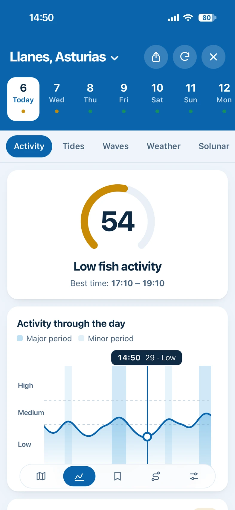
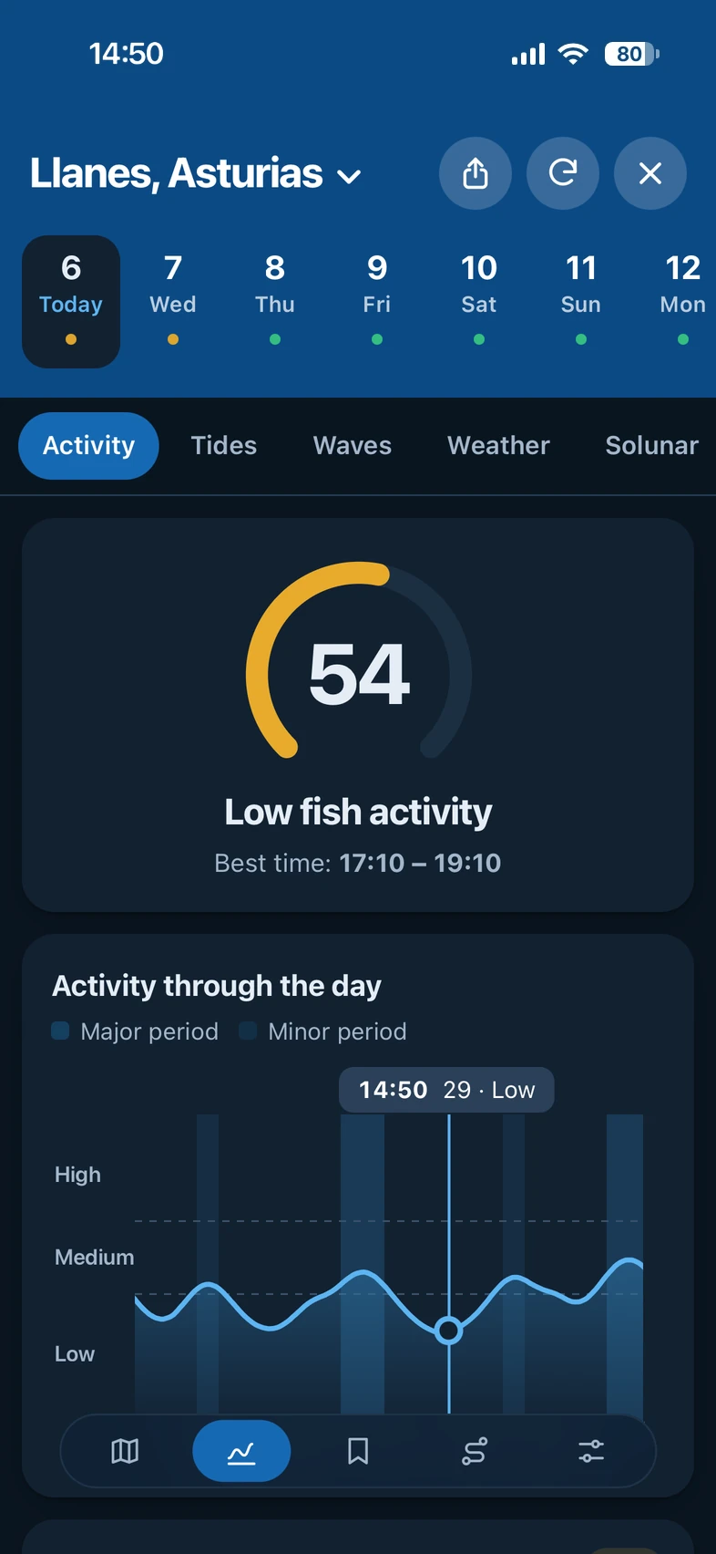
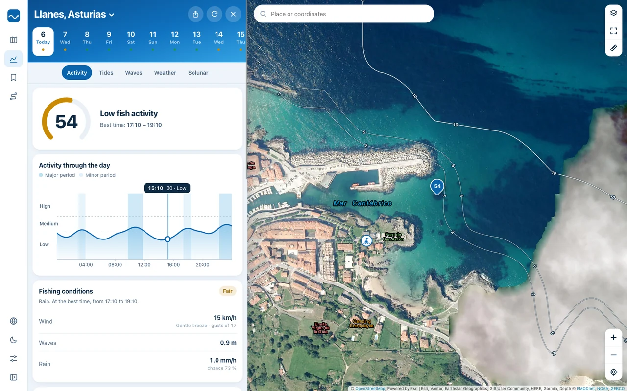
A 0 to 100 score for every day and every hour, with the best time to go. It combines tide, moon, sun, wind, sea and pressure.
Tides, waves, weather, solunar and a 0 to 100 activity score for any spot on the coast. Tap the map and see it.
Everything you check before going fishing, in one place and for the exact spot you are heading to.
A 0 to 100 score for every day and every hour, with the best time to go. It combines tide, moon, sun, wind, sea and pressure.
High and low tides with their hour-by-hour curve. In Spain, with the official tables of the Instituto Hidrográfico de la Marina.
Wave height, period and direction, swell, water temperature and currents.
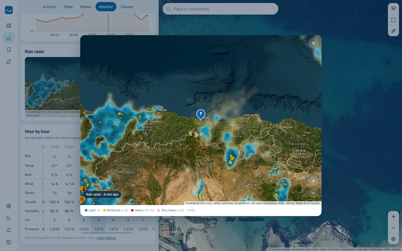
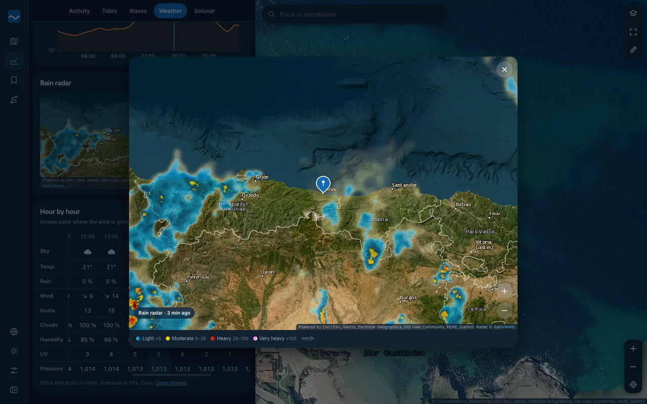
Wind, rain, temperature and pressure up to 16 days ahead, with rain radar and a wind map.
Major and minor periods, moon phase, and sunrise, sunset, moonrise and moonset times.
Satellite or street map, with ports, tide stations, depth contours and nautical marks.
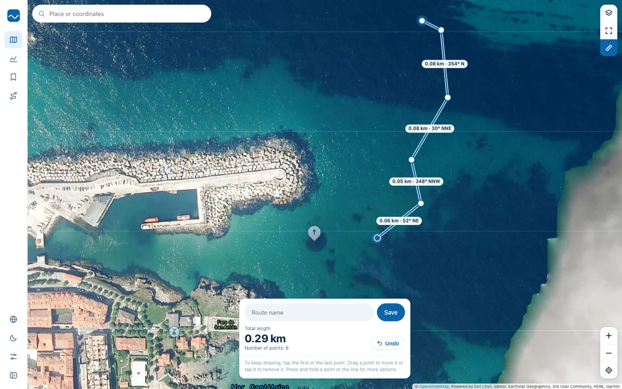
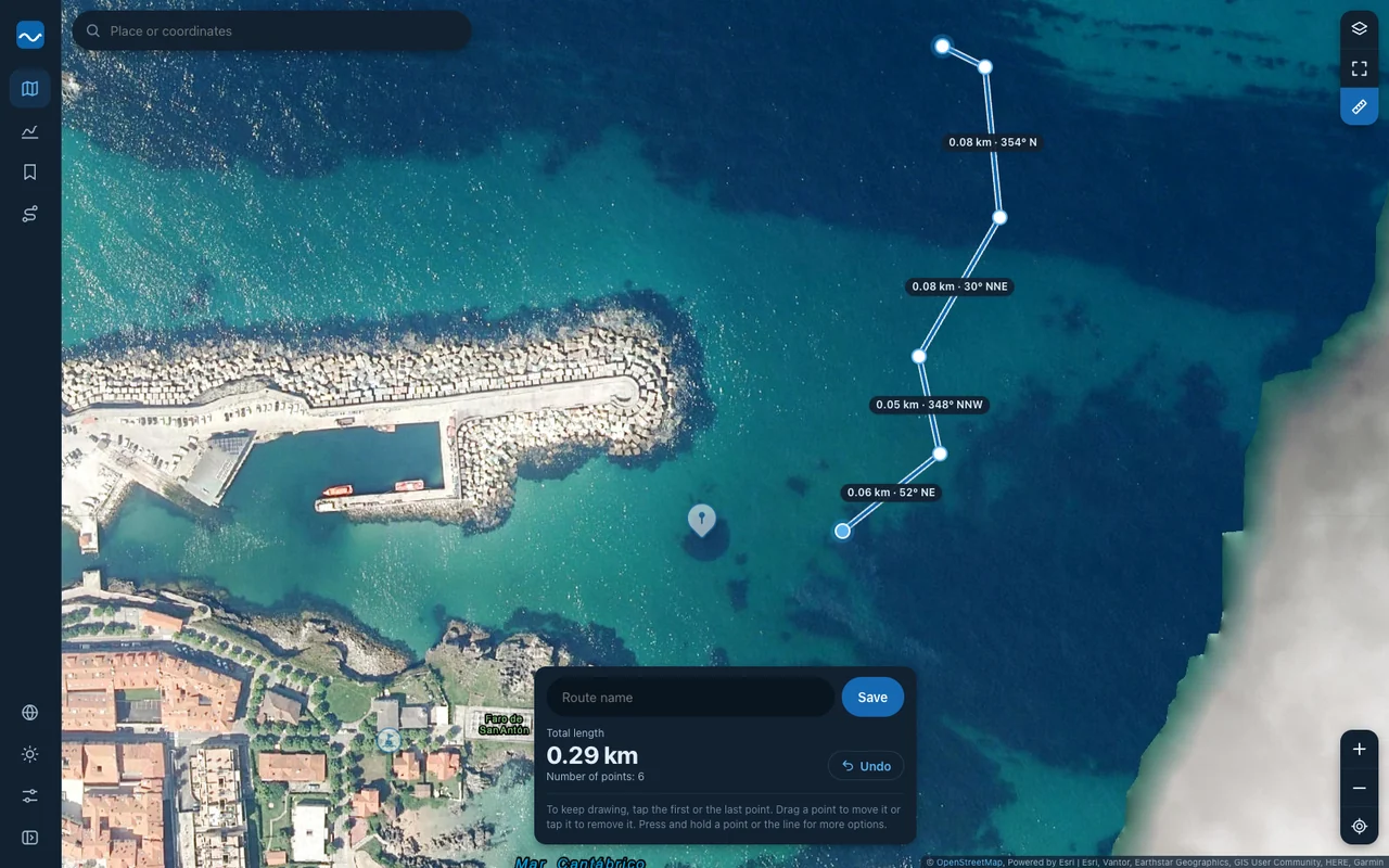
Save your places, measure distances and draw routes. Export them as GPX and KML for your GPS, your plotter or Google Earth.
No stores and no downloads: it opens in the browser and, if you like, stays on your home screen.
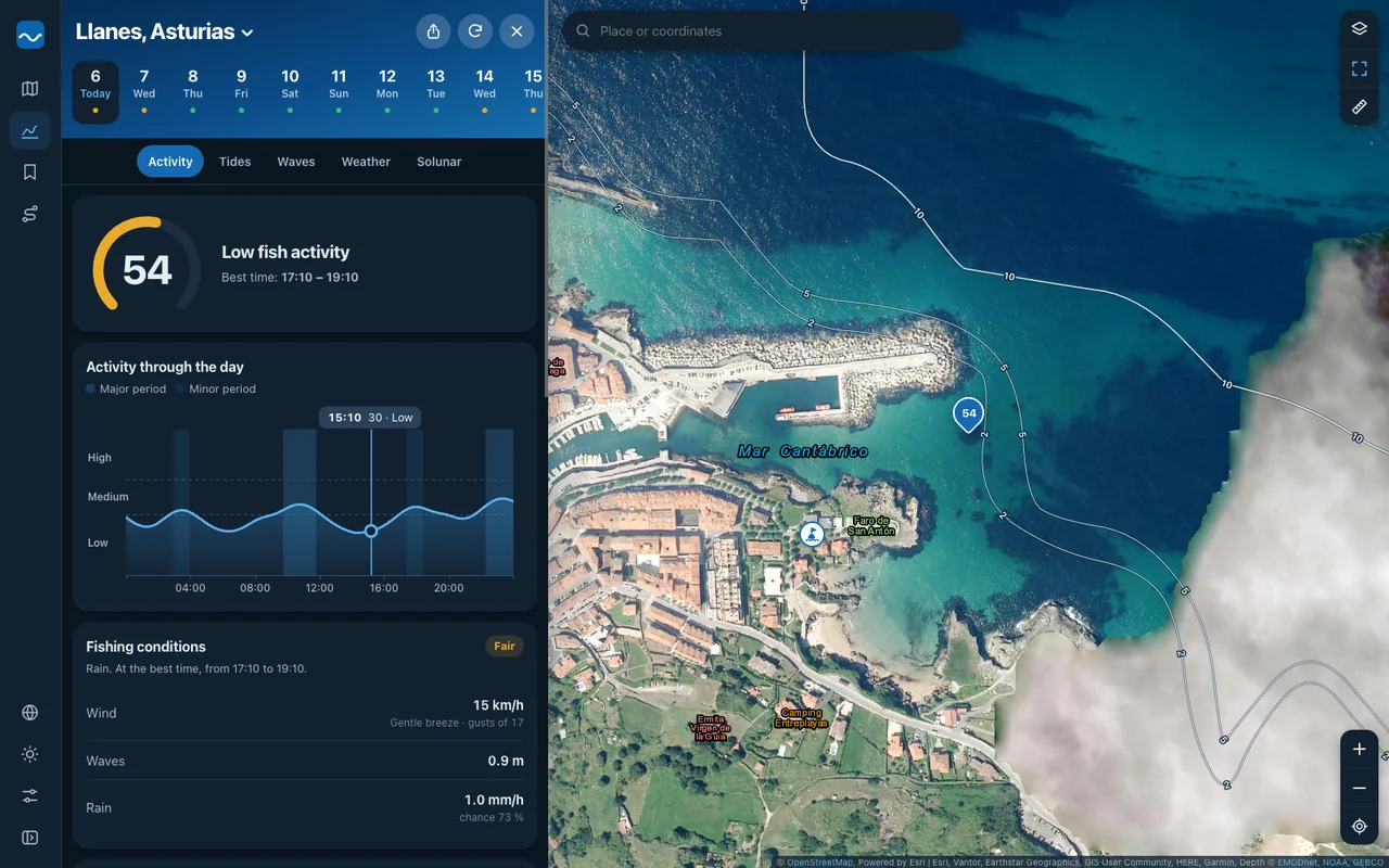
Real screenshots of the app, with the forecast for Llanes, in Asturias.
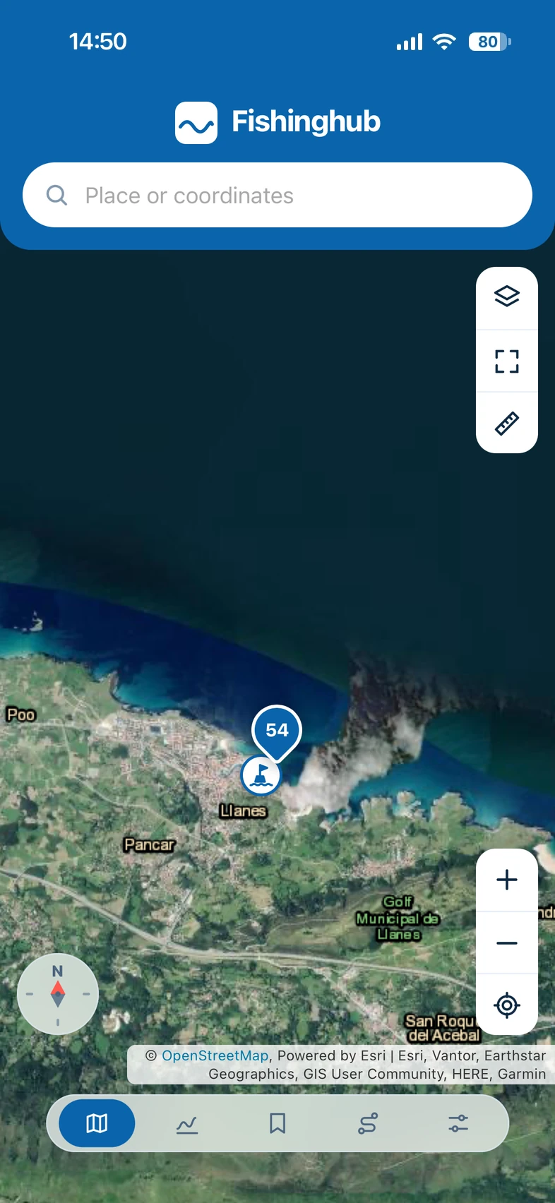
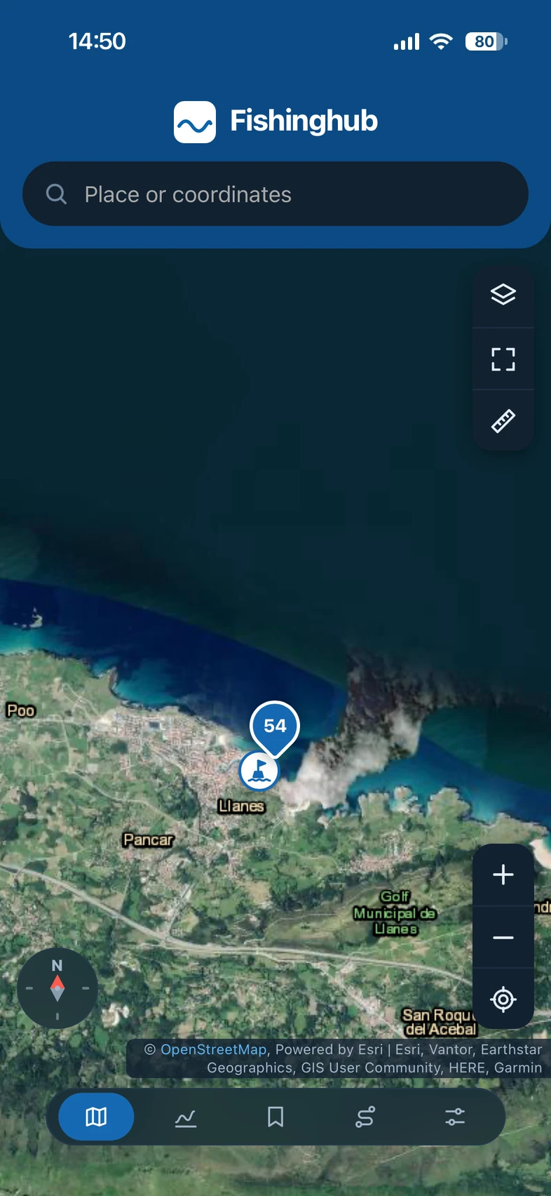
Any point on the map is a forecast: no need to search for it or save it. With satellite or street map, ports, tide stations, depth contours, nautical marks and marine protected areas.
A 0 to 100 score for every day and every hour, with the best time to go. It combines tide, moon, sun, wind, sea and pressure.
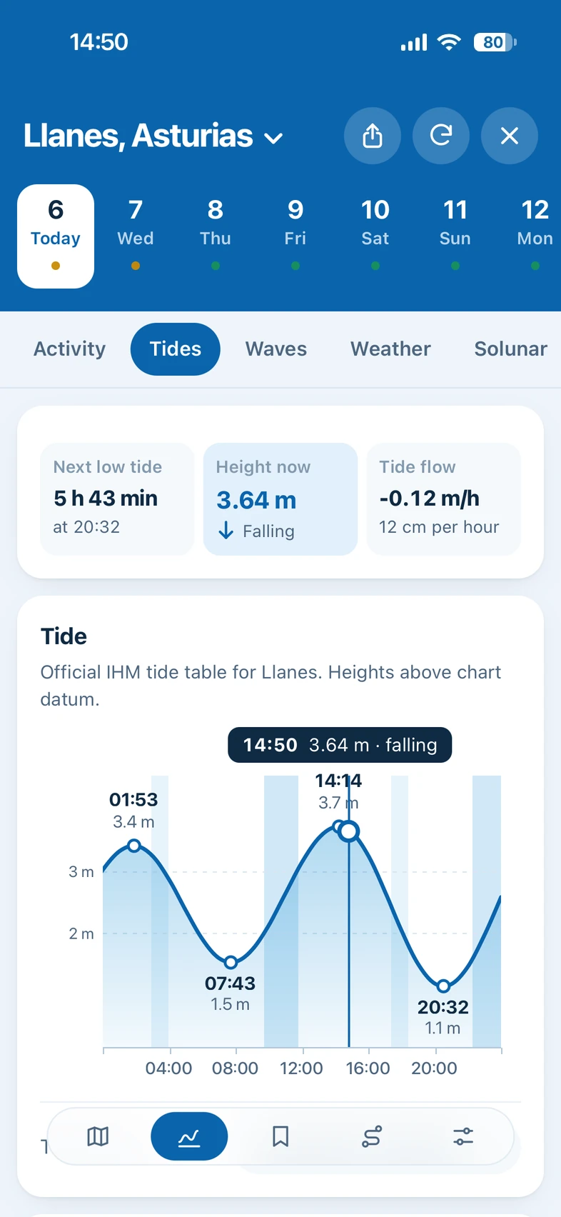
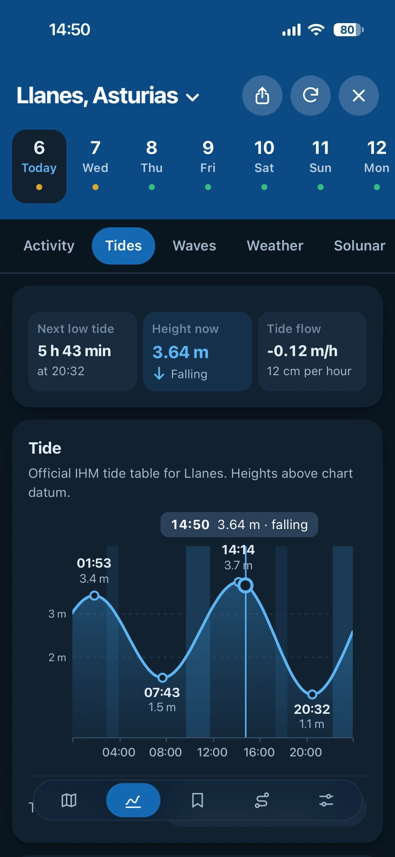
High and low tides with their curve, the height right now and how long until the next one. In Spain, with the official table of the Instituto Hidrográfico de la Marina.
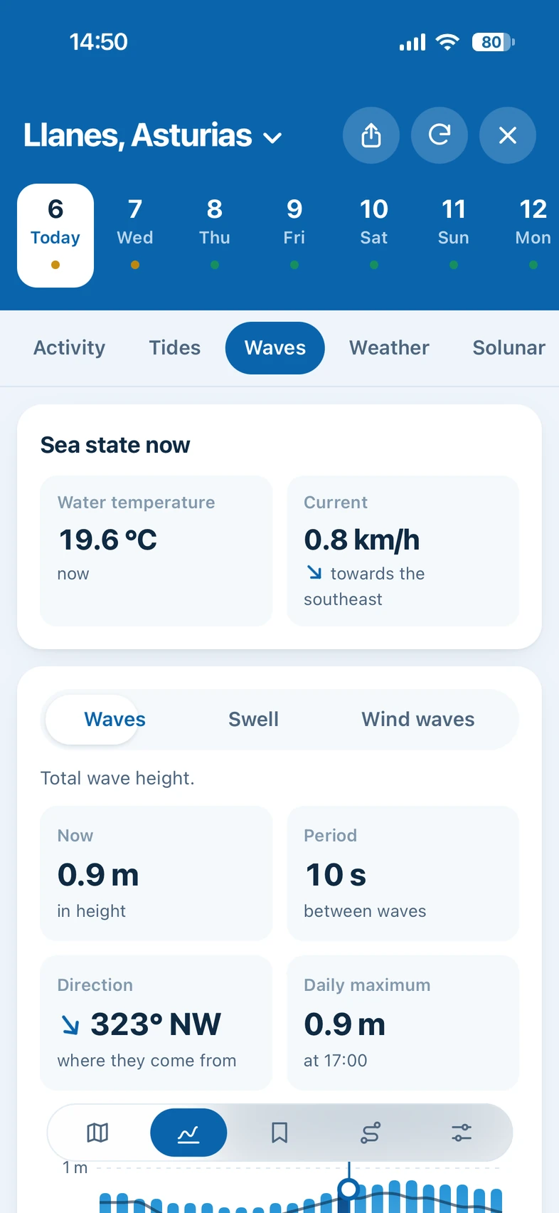
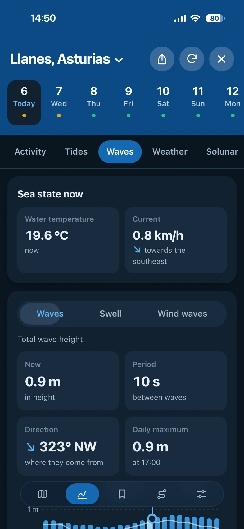
Wave height, period and direction, with swell and wind waves shown separately, plus water temperature and current.
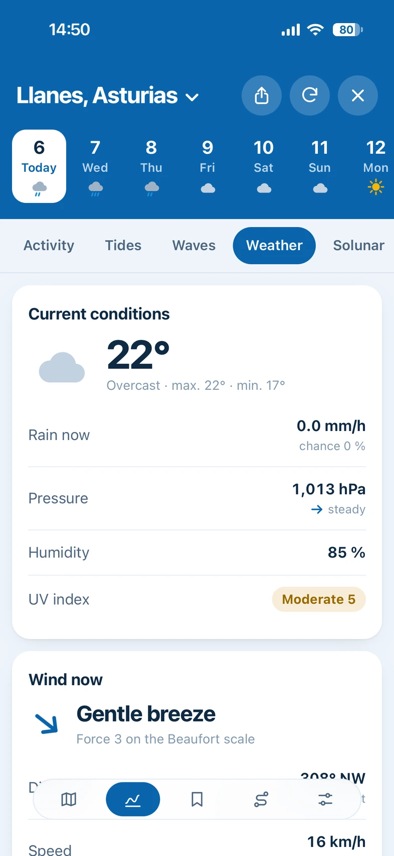
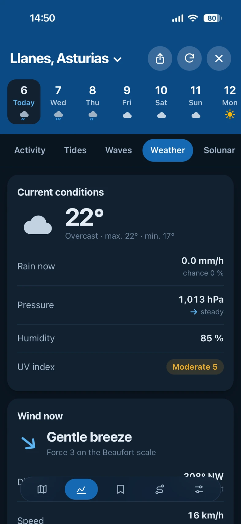
Wind and gusts, rain, pressure, humidity and UV index up to 16 days ahead, with rain radar and a wind map.
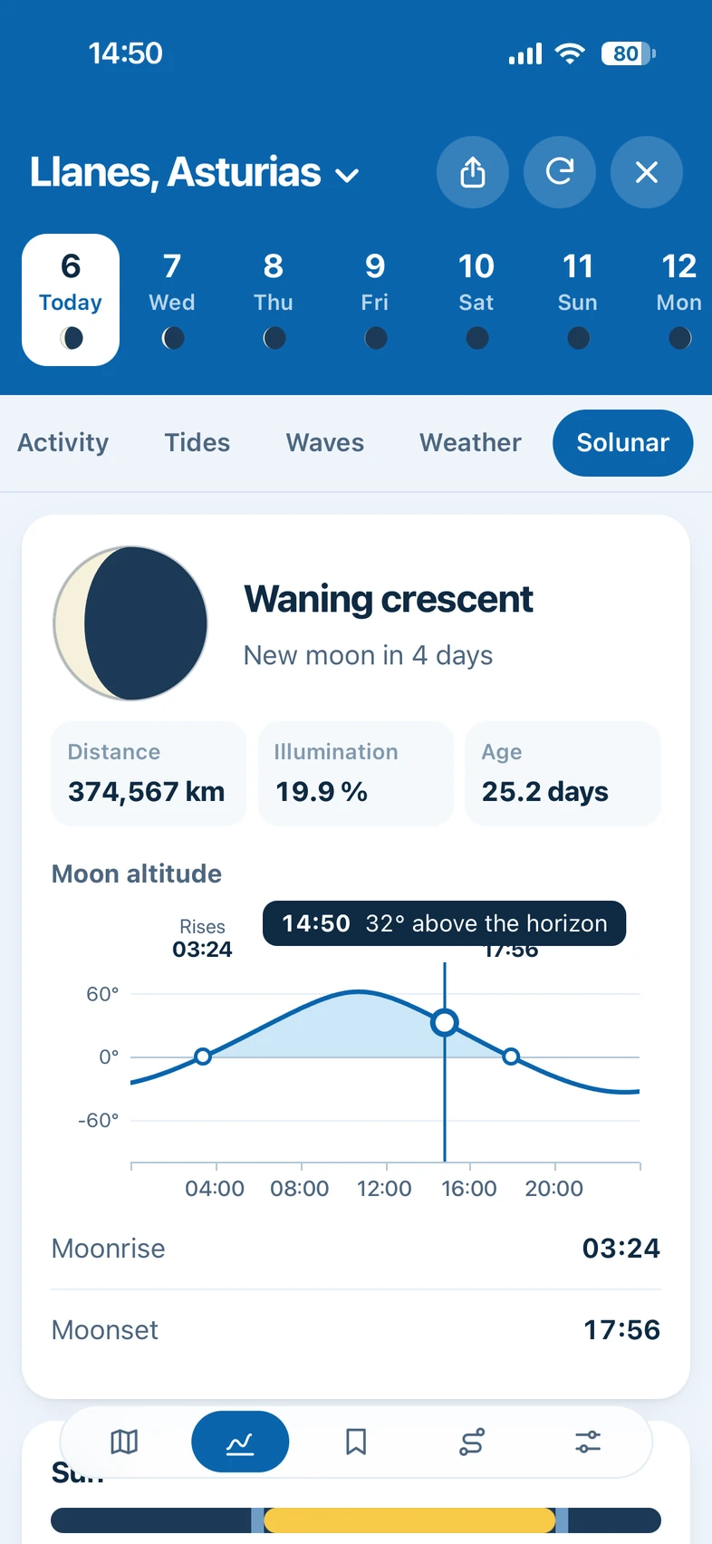
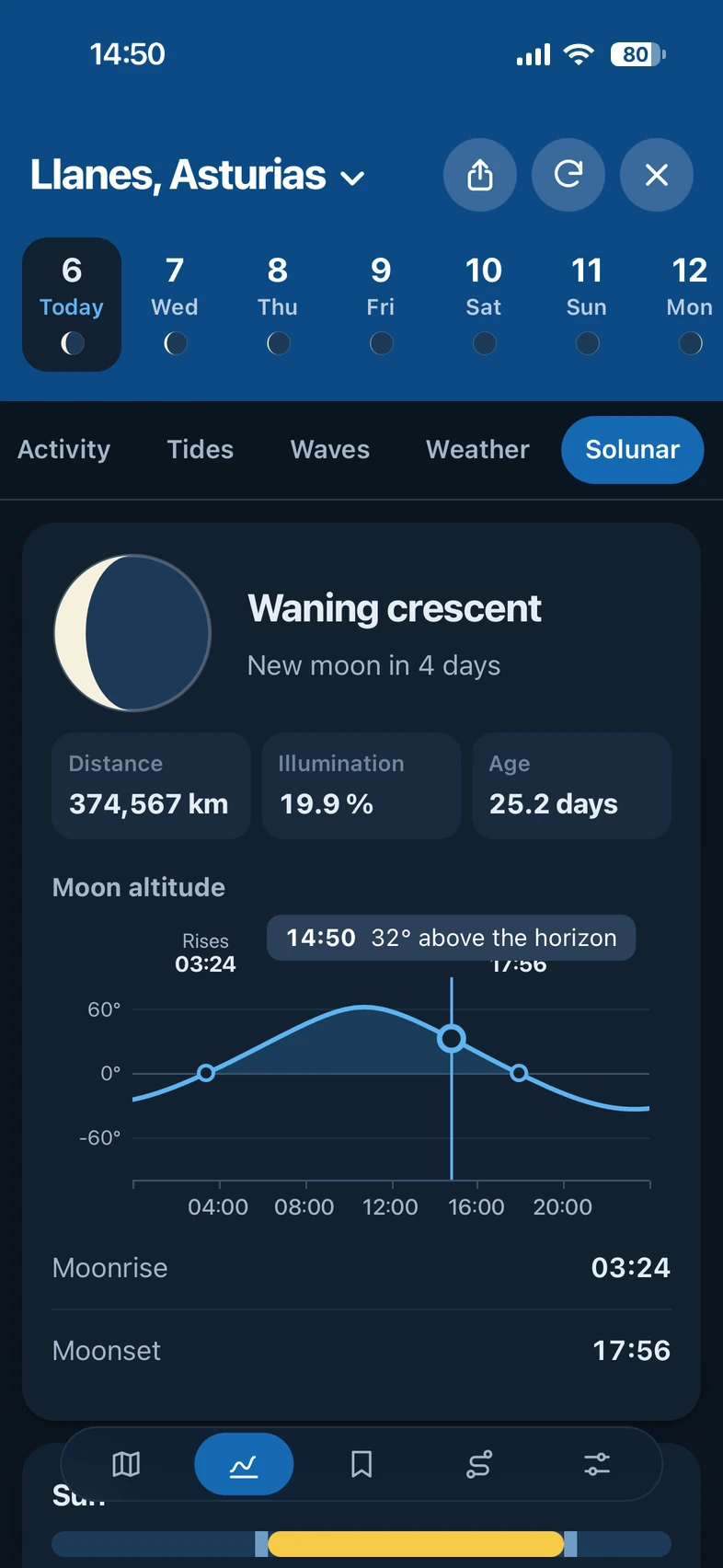
The moon phase, the major and minor periods, and the rise and set times of the sun and the moon.
Inside the app
Knowing when the tide comes in, what the sea is doing or whether it is worth getting up early should not depend on paying a subscription. The data are public, and we believe the tool to understand them should be too.
Every feature, for anyone who comes in.
No ads and no sponsored content.
No accounts or passwords: open it and use it.
We do not store or sell your data.
Whether you have been fishing for forty years or are about to pick up a rod for the first time, you get the same as everyone else.
Fishinghub adapts to whatever you have in front of you, with nothing different to install. Your spots and routes are saved on each device.
What people ask most before using it, in short.
No. Every feature is free: there is no paid version, no subscription and no ads. There are no accounts or passwords either, and it does not go through any app store: it opens in the browser. If you want it at hand, you can add it to your home screen and it opens like any other app.
Any spot on the coast: tap the map and you get the forecast. In Spain, tides come from the official tables of the Instituto Hidrográfico de la Marina; in the rest of the world, from the model forecast.
There is no limit: in the calendar you can look at any date, with an activity score estimated from the moon and the sun. The most accurate data is for the coming days: weather goes up to 16 days, and tides, waves and currents up to about 10.
Yes. The app keeps the last forecast you looked at and you can see it offline. To have it at hand when there is no signal, it is best to “install” it, that is, add it to your home screen. For a new forecast or a different spot you need a connection.
Fishinghub exists thanks to those who make their data and maps available to everyone. Your browser requests them directly and the app works out the rest on your device. To all of them, thank you.
 Open-MeteoThe weather, waves, currents and water temperature for every spot, and the place search.
 Instituto Hidrográfico de la MarinaThe official tide tables of its 70 stations in Spain.
 OpenStreetMapThe street map, the ports and the name of the place you tap on the map.
 OpenSeaMapThe buoys and nautical marks on the map.
 RainViewerThe rain radar.
Open the map, tap your spot on the coast and get the forecast right away.